
Did you just find this post? Read about the start of the journey HERE, Days 2-3 HERE, Day 4 HERE, and Day 5 HERE.
(All daily mileages are approximate estimates, and certainly underestimates. They do not include any spur trails, portage trail side-trips, wanderings-around to try to re-find the trail, etc.)
July 5, DAY SIX: Pine Lake to the East Trailhead & 270 View (7 miles of hiking; + hitch-hiking)
In the morning, Heather still didn’t feel well. She barely ate any breakfast, disappeared into the woods multiple times for bathroom breaks, still felt nauseated. We were worried about severe dehydration, and the morning, after the night’s momentary respite, was roaring back hot and even more humid than before.
Our map showed an established campground and a place where the trail intersected a rural road just four miles away, and we aimed our sights on it. Maybe there would be cell service there, and we could call our partners, set to pick us up the next day at the East Trailhead, and summon them to fetch us closer instead.
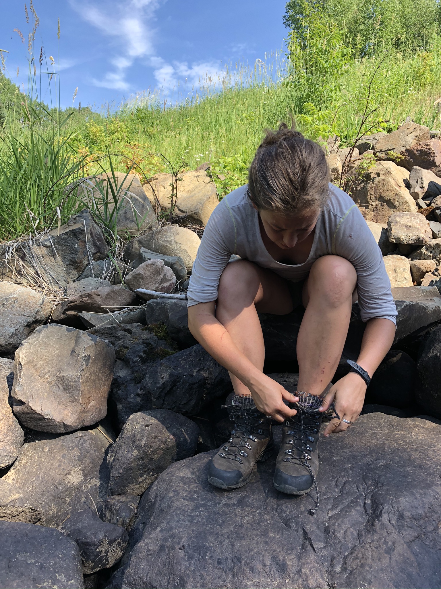
We got the early start we’d promised ourselves and struck out from the Pine Lake portage beach, up the steep portage trail, and eastward, passing the couple who’d come down to fetch water the night before, who were just waking up. The four miles through tall pines went okay, although we chugged water in the humidity and Heather’s nausea did not abate. (What a goddamn trouper she is, I think back on it now – hiking gamely along with her full pack for mile after mile with what was certainly severe dehydration and heat illness.)
And suddenly there we were, out of the Boundary Waters and on a gravel road. We could hear voices from the campground, although it was out of sight in a dense strand of trees. We both pulled out our phones and turned them on – and both, predictably, saw we had zero cell service.
“Right. Hitchhiking?”
As we were debating whether or not to walk through the small campground loop, asking for rides, a large SUV pulling a big trailer pulled over on the road ahead of us in a sun-bleached clearing and a cloud of dust, and an older couple, man and woman, maybe in their early seventies, got out. The man began inspecting the trailer hitch, and we approached them tentatively. “Hi! Any chance you guys have any idea where the closest place to get cell service is?”
They did not. There was probably nowhere. But the woman cocked her head at us and said, “Is everything all right?” And we explained our whole sorry status, and they were duly impressed at how far we’d already hiked, and the woman offered us bottles of icy water fresh from the cooler, and they said, “Why don’t we just give you a ride down the trail?” Michelle and Brad, and their two small dogs. Our saviors. They even let us sit in their SUV with them, unmasked and smelling like we did. (Heather’s partner Drayton, the next day, used the word “rancid.” We hadn’t really brought changes of clothes.)
The plan was for them to drop us off a few miles shy of the East Trailhead, at Otter Lake, to give us a handful of miles to walk in the morning before Drayton and Niko arrived in the late afternoon to get us. But we somehow all missed that turn, and suddenly were at the sign for the East Trailhead. What would have taken us a day and a half to hike, gone in fifteen minutes. They unloaded us with another bottle of ice water and were on their way.
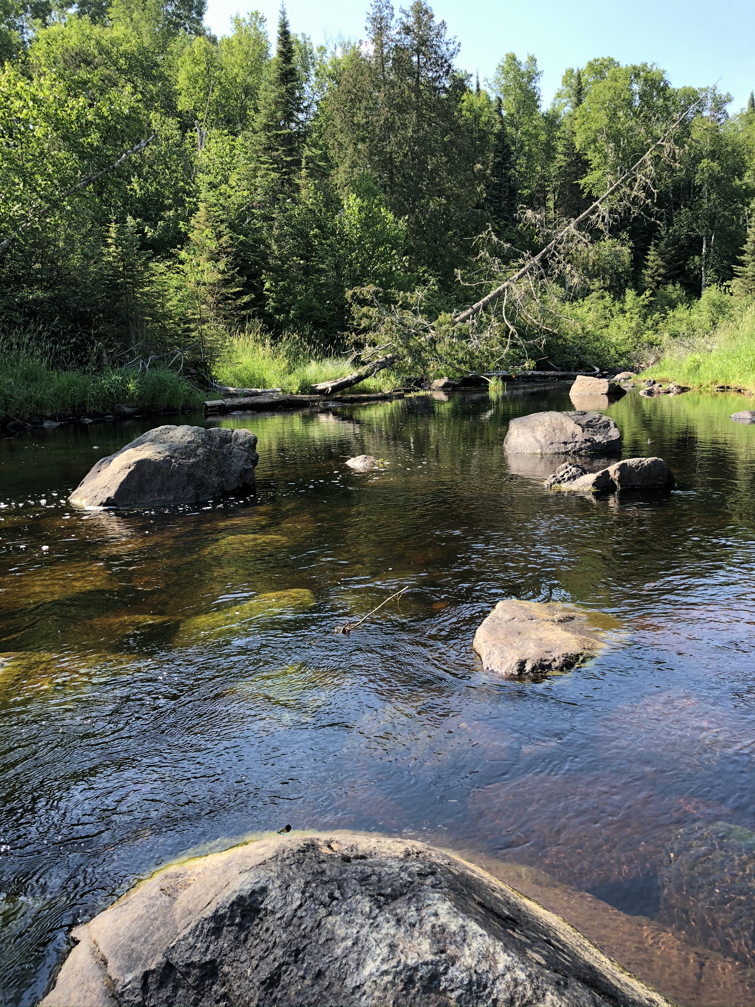
The East Trailhead wasn’t the loveliest place to hang out. There was a tiny gravel parking lot by the big trailhead sign north of the road, and a boat launch south. A small river soaking algae-thick boulders curved by, bisecting the road at a two-lane bridge. A short walk east, on the southern side of the road, was a Superior Hiking Trail parking lot and signage. We walked around in all directions for awhile, looking for camping – our map showed a little tent symbol at the trailhead – but there were clearly no established camping spots anywhere. We bushwhacked into the forest near the river and found a couple tiny clearings in the spruces where we thought could probably fit the tent and be hidden from the road, but it wasn’t ideal.
We left it for the moment, drenched in our usual, familiar sweat, and went down to the river to splash water over ourselves and lay our legs in the current. It smelled like algae and hot tar, and there were fat crayfish lurking between the rocks. For the first time, we left our shorts and sports bras on – we hadn’t seen any other people, but there were a couple parked cars by the trailheads, and we were perched just shy of the bridge, like stinky trolls.
Eventually we left the sun, went back to the BRT Trailhead, and hiked up the trail one mile to the 270 degree overlook.
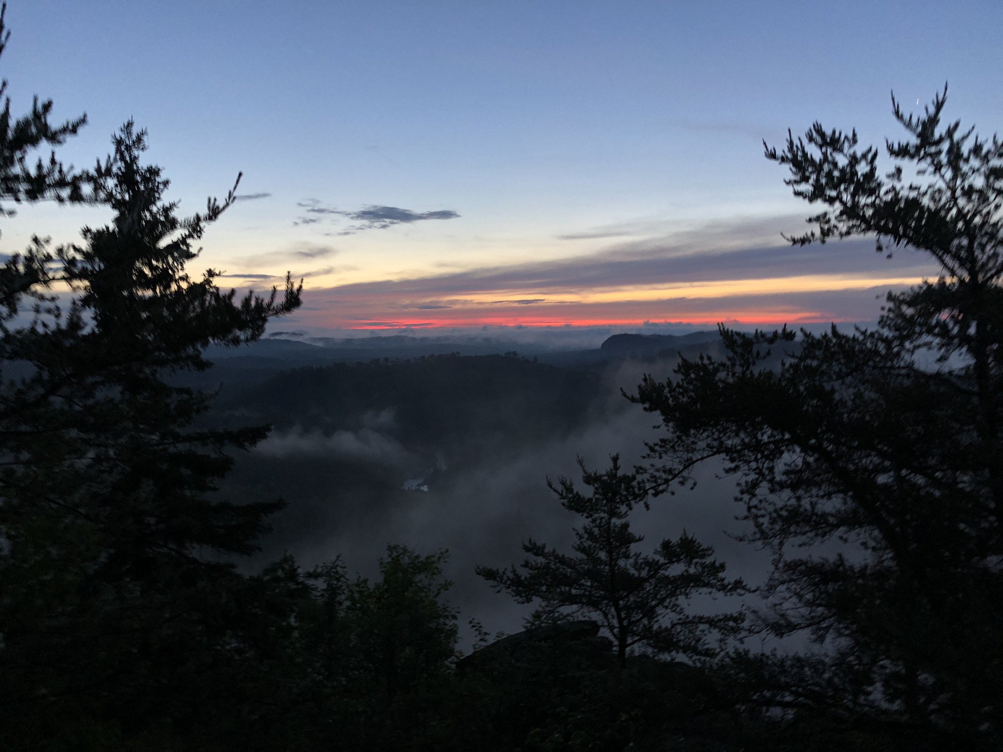
It’s stunning. Cascading shelves of rock and green washes of trees far below, verdant and rich, and we decided almost immediately that we needed to camp there. We hung out there for another long time, reading in the small patch of shade from a boulder. I checked on Heather probably too incessantly – she still felt nauseated, slightly lightheaded, headachy. She still hadn’t eaten hardly anything.
We left most of our packs and hiked the mile back to the trailhead, by water, to make dinner – which ended up being just a giant pot of instant mashed potatoes, which Heather ate maybe eight small bites of, and I think I kind of forced her. We put the leftovers in a sealed Ziploc bag, knowing we could dump it the next day. Then we washed the dishes, filled up our water bottles, and trekked back to the overlook, where we set up our tent at the beautiful top and finished our wee plastic bottle of whiskey as the sun set. I felt kind of amazing – still sore, but weirdly cleansed from the river and the shorter day of hiking and the bite of the whiskey and the wind blowing up from below. We ate our ritual ibuprofens.

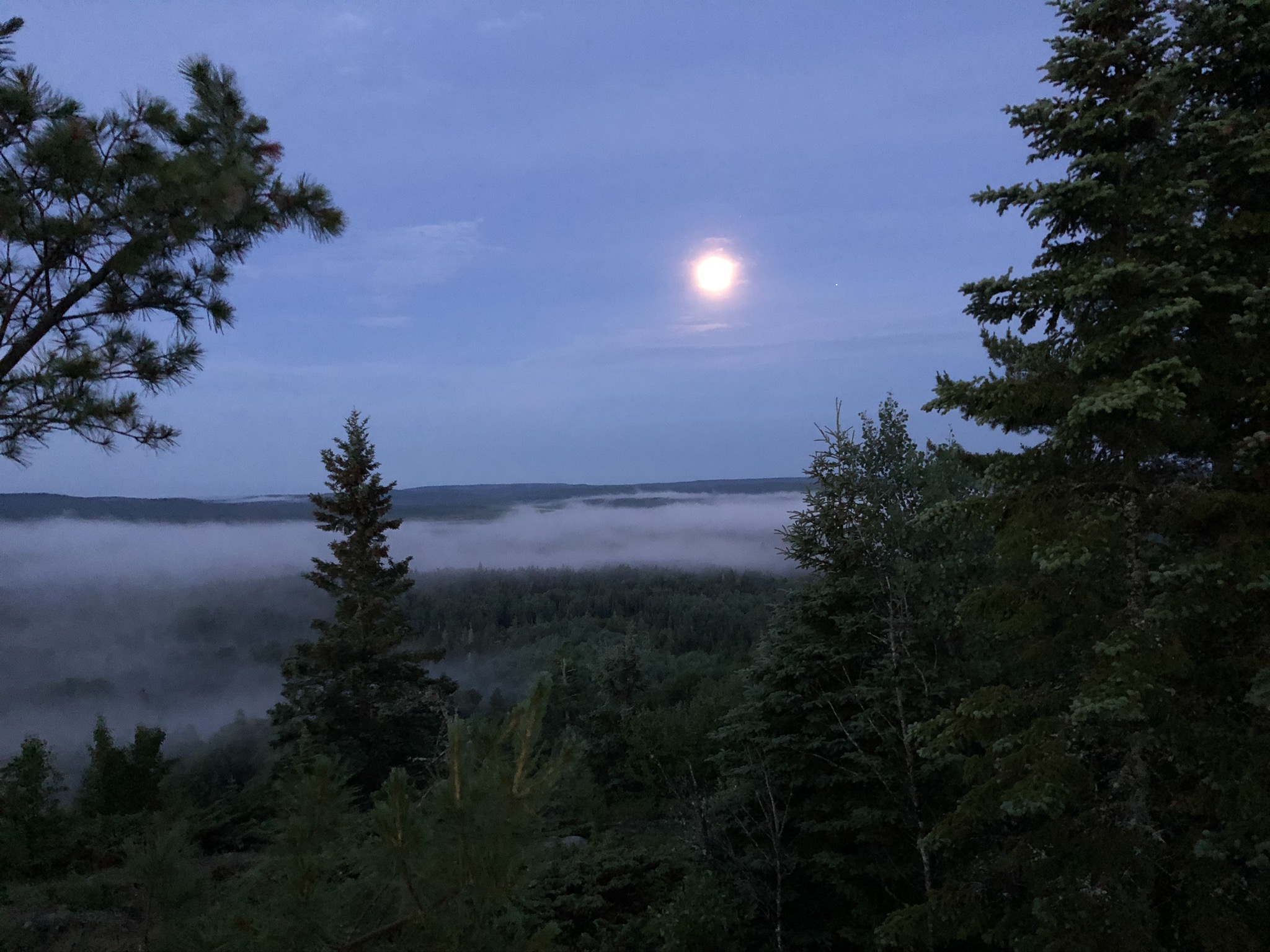
When some thunder rolled in, and the clouds turned dark, we made the sad call to move our tent away from the highest point around, and carried it fully assembled a couple dozen feet down the trail, past the logbook at the sign marking the SHT’s Northern Terminus, and tucked it on some moss and large-leaf aster off the trail not far from where we’d hung the bear bag. The mosquitos were virtually a soup by the time we crawled in, and it started raining a moment later. We spent several minutes killing all of the mosquitos inside the tent before turning off the headlamps.
July 6, DAY SEVEN: Westward from the 270 View, then back to TH (5 miles of hiking)
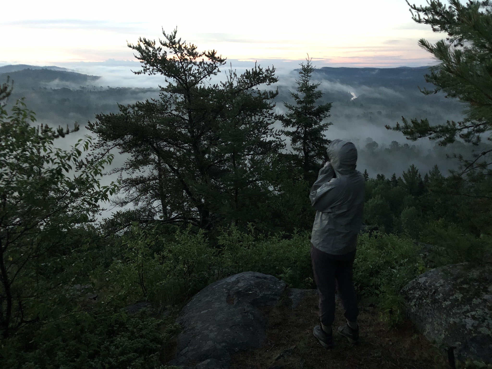
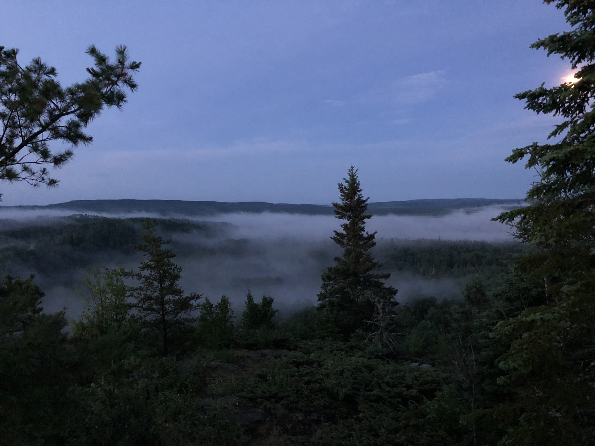
Heather, delightfully, managed to coax me out of my sleeping bag at something like 5 am to watch the sunrise, and I am so glad that she did. It had stopped raining, and while the bugs were no better, the view of the sun rising in the fog and the spears of eerie treetops below was unworldly. And anyway we went back to bed for a couple hours afterward.
When we woke up a second time, it was fully sunny, pushing the bugs into the shade, and we sprawled the tent on the sunny rocks to dry while we boiled water for coffee and oatmeal. We re-bandaged my weird bug bite, which was going pink and kind of necrotic looking, doctored Heather’s blisters, and had some more ibuprofen for good measure. Three young people from Madison arrived and chatted with us for a bit on the overlook, as we packed up the now-dry tent and breakfast and the first aid kit and all the rest of it.
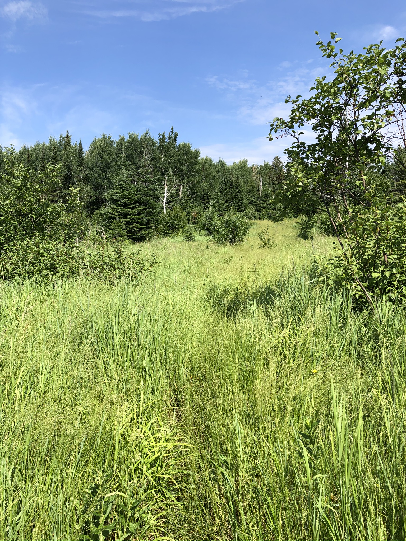
Determined to hike as much of the Border Route Trail as possible, we left our food hanging, hid some of the gear in the trees, and set off westward this time, taking water and snacks. This easternmost segment of the trail, it turned out, was no better maintained than the worst sections we’d already encountered. It was swampy and intricately overgrown. There was a very long stretch of wading through waist-high grass, looking for tiny pieces of blue tape on the occasional saplings to mark the way. There was a fair amount of climbing up and over and around fallen trees. The bugs were wretched. The overlooks were so cloaked in trees it was hard to see much. Still, we went in two miles from where we’d camped, had a small snack, and cautious of our water supply, turned and hiked the three miles back to the East Trailhead, fetching the rest of our food and gear en route.
And there we were – hiking into the East Trailhead, festooned in wafting bug spray and body odor, on the seventh day after setting off freshly laundered from the West Trailhead. And so sure – there were ten or so miles of the trail we never saw. But we felt like thru-hikers.
We went back to the river to soak our big bites and lie in the sun, and a couple hours later our beautiful, smiling, so very very clean Niko and Drayton appeared, and they had cold cans of juice and beer and bags of snacks and an air-conditioned car and they hugged us even given the “rancid” comment.
Medical Post-Script: It took Heather another day or two of rest, little food, and lots of water and icy Gatorade, to feel back to normal, but she got there. My weird bug bite looked more and more necrotic, in a disturbing sort of way, but cleared up about a week later and never revealed its secrets.
Top Tips for Hiking the Border Route Trail:
- Do it. I know I didn’t make it sound like a walk in the park, but it’s really insanely beautiful and truly wild, and if you’re up for a challenge, I recommend it wholeheartedly.
- Do better than we did at looking up an accurate weather forecast ahead of time. Avoid hiking in temps above 85.
- Download a GPS app on your phone ahead of time, especially for the westernmost 10-20 miles, and bring a really good map. (There is a Border Route Trail offline maps app for both iPhone and Android.)
- If hiking in summer, bring enough bottles/hydration bladders to carry at least 3 L of water per person, and bring electrolyte drink powders, the one thing we didn’t bring that we wish we had. We were really happy to have both a gravity filter and a squeeze filter.
- Be prepared to find grumpy paddlers who don’t want to share at some of the nicer sites on the water in the BWCA.
- The Pine Ridge backpacking site is not great – buggy, no views, very far from water. Avoid. (This is the one we skipped in favor of illegally camping at the portage. Illegally camping at portages is NOT one of my top tips. We were in dangerous heat exhaustion territory, all right?)
- Don’t forget your BWCA backpacking permit – you can get it online at http://www.recreation.gov/permits/233396. Unlike paddling permits, there is very little demand for these suckers.
- Take Heather with you! She’s the best hiking partner. But just kidding, you can’t, because I don’t think she wants to hike it again. Once was good, all right? Find your own Heather. And bring cocktails.
(Photo Credit: Photos taken by Heather. Aster drawing from the USDA.)

You two are really badass! It makes me want to hike!